- Field notes
- Travel
Flying FPV in the mountains: what Spiti taught us about planning.
· 5 min read · Manmadecinematics
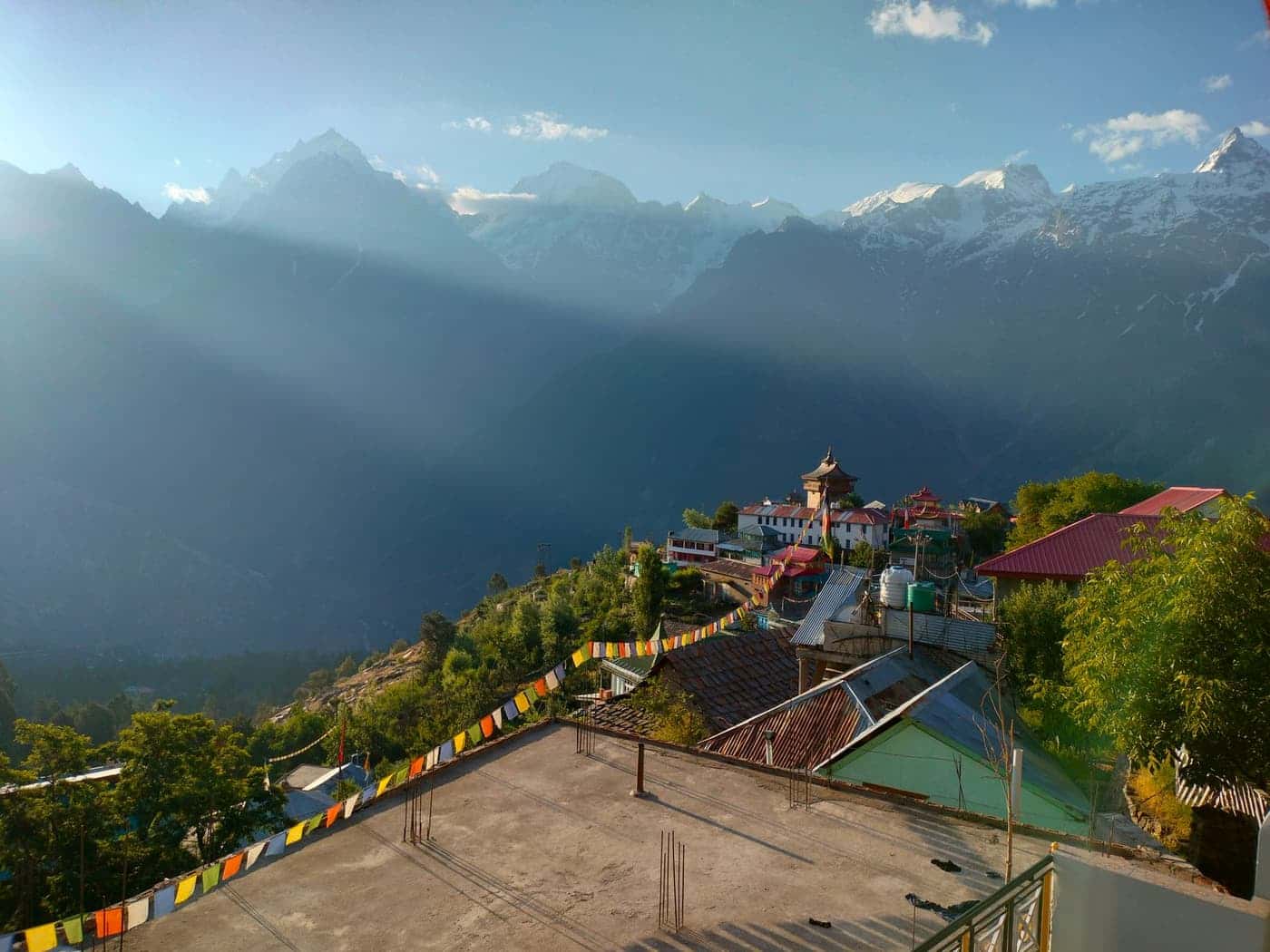
Flying FPV in the mountains is the same craft as flying it anywhere else, with less margin. The air is thinner, the batteries are colder, the weather turns without much warning, and the nearest spare part may be a long drive away. For our Spiti and Kinnaur films, most of the work happened before the aircraft left its case.
This is the analysis we run before a high-altitude shoot: what changes, why it changes, and what we do about it. It is written from how we plan, not as a rulebook. Conditions, aircraft and local rules differ, so treat it as a way of thinking and check the details for your own site.
What altitude changes
Thin air is the root of most of the differences. Propellers bite less, so the motors work harder to produce the same thrust, the aircraft has less power in reserve, and a manoeuvre that is easy at sea level can use up the margin you need to recover from a mistake. The result is a machine that feels a little heavier and a little less willing to climb out of trouble.
- Less thrust in reserve, so climbs, punch-outs and tight pull-ups need more room.
- Higher motor and battery load for the same flying, so flights end sooner and components run warmer.
- Longer stopping distances and softer braking, so the aircraft needs more space to settle.
- A tuning that was right near sea level may feel different, so we fly a short test before any real take.
Cold batteries and the flight budget
Cold lithium cells deliver less and sag sooner under load. A battery that gives a comfortable flight in warm air can drop its voltage early on a cold morning and leave very little time in the end. We do not plan to the number on the pack. We plan to a shorter flight, keep the batteries warm until the moment they go into the aircraft, and land with more charge than feels necessary.
The flight budget is the sum of the number of batteries, the length of each safe flight and the number of takes each shot needs. At altitude all three are smaller, so we plan fewer shots, cover each one with intent and keep charging capacity in mind. A shoot that needs sixteen flights on paper may only fit eight in the real day.
Radio link, terrain and line of sight
Valley walls and rock faces block and reflect radio signals. A route that looks open from the road may put the aircraft behind a ridge for a moment, and a failsafe that triggers there is a very bad surprise. We keep the aircraft in clear line of sight, choose routes that stay on one side of any obstruction, and set failsafe behaviour for the terrain, not the default. A spotter watches the sky and the route while the pilot is in the goggles.
Weather windows
Mountain weather changes quickly. Mornings are often calm and clear, and winds tend to strengthen as the ground warms and air starts to move along the valley. Cloud can arrive in minutes. We fly in the calm windows, treat the middle of the day as time to scout, rest and charge, and are ready to stop when the conditions change. Losing a shot costs a day; losing the aircraft or hurting someone costs far more.
Read the route, not just the view
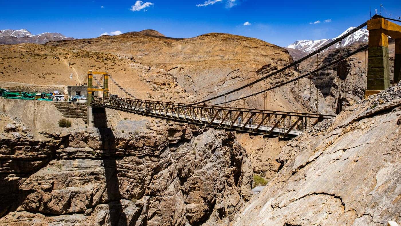
Bridges, cliff roads and valley walls make strong leading lines, but they also decide where the aircraft can safely go. Before we fly, we walk or drive the route and make a note of the places that matter.
- Launch and landing points that stay clear of traffic and people.
- Escape lines: somewhere safe to go if the link drops or the weather closes in.
- Wind: where it funnels, where it drops off behind a wall and where it rolls over an edge.
- Light: which hour puts the warm side of the rock in front of the lens.
- Time: a realistic count of flights per battery set and per day.
How the plan shaped the four films
Each film in the Spiti series asked a different question of the plan. The Chicham bridge is a fixed structure with traffic and people on it, so the flight was a steady low line along the deck, planned around a clear launch point and the quietest time of day. The valley film needed room and a reliable link, so it favoured open ground with no walls between pilot and aircraft.
The Kinnaur cliff road and the 4x4 convoy were the most demanding. A road cut into rock leaves the aircraft very little space beside it, and a moving vehicle adds a second thing to keep clear of. Those shots were broken into short passes, each with its own launch, its own escape line and its own agreement with the driver about speed and spacing. The result is a few seconds of film that took a morning to plan.
At altitude the plan is the safety margin. The more remote the road, the more of the shoot is decided before the first flight.
A pre-flight checklist for the high country
- Rules and permissions confirmed for the area, including roads, bridges and border zones.
- Weather and wind checked that morning, with a clear point at which we stop.
- Batteries warm, charged and counted, with a landing reserve agreed in advance.
- Failsafe, return height and link checked for the terrain, not left at default.
- Spotter briefed, launch and landing points clear, and the people nearby aware of the flight.
- A short test flight before the first real take, to feel how the aircraft behaves in that air.
Rules and respect
Rules for flying differ by country, region and site, and some mountain areas need permits or have restrictions near roads, bridges and borders. We check what is allowed before we travel, ask local permission where it is needed, and keep clear of vehicles, villages and people on the road. The landscape and the communities in it come first, and the shot comes second.
What we would tell a producer
If you are planning a shoot in the mountains, give it more days than you would at sea level, expect fewer flights in each day, and treat weather as part of the schedule, not a risk to it. Budget for scouting. A day spent walking the route is the cheapest way to make the flying days count, and it is where most of the good shots are found.